US Map / County Maps / Rhode Island
Rhode Island County Map
Rhode Island's five counties have no government, no county seat, no county officials, and no budget. They are lines on a map.
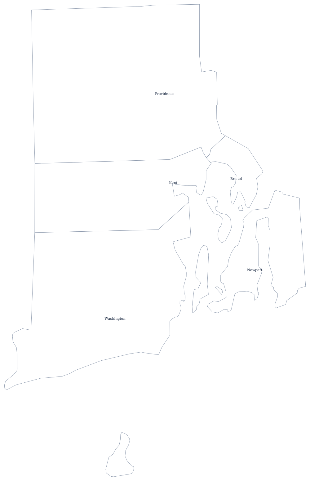
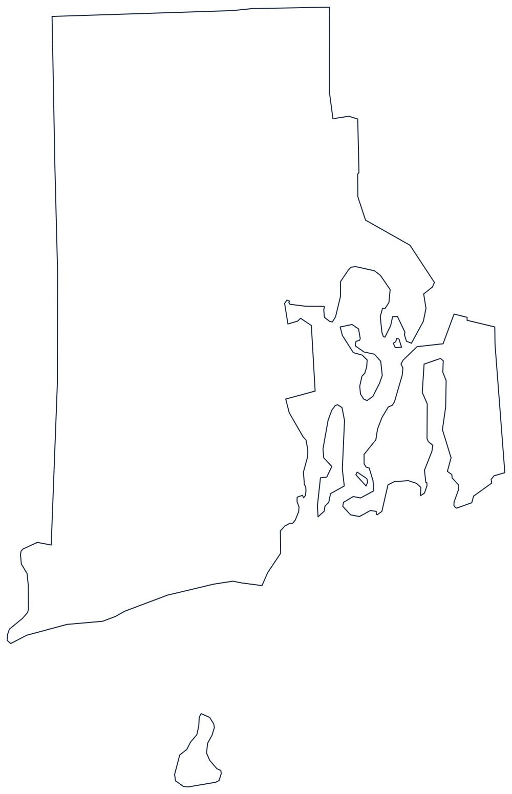
The counties were created in 1703 and reorganized through the eighteenth century, and for a while they did what counties elsewhere did — held courts, kept jails, maintained bridges. The 1842 constitution began dismantling them, and the last county functions were gone long before living memory. Today the state's 39 cities and towns cover every square foot of Rhode Island and provide every local service, and the counties are used for addresses, court districts, and federal statistics.
The five counties of Rhode Island
There is no county seat column because there are no county seats. No county in Rhode Island has a courthouse of its own, a commission, or an elected officer; the sheriffs, once county officials, became state employees under the Department of Public Safety. The five counties below are the whole state.
| County | Population (2024 estimate) |
|---|---|
| Providence County | 675,912 |
| Kent County | 172,450 |
| Washington County | 130,333 |
| Newport County | 83,468 |
| Bristol County | 50,145 |
Counties with no government at all
Rhode Island is the clearest example in the United States of counties reduced to pure geography. Connecticut abolished its county governments in 1960 and then replaced them with planning regions; Massachusetts abolished eight of fourteen and left the rest; Rhode Island simply let its counties dissolve into the towns and never built anything on top. The state is small enough — 1,034 square miles, about 48 miles top to bottom — that the state government can do directly what a county would do elsewhere, and it does: the state runs the courts, the prisons, and the sheriffs, and the towns run everything local.
The counties are not quite invisible. The Superior Court sits in four county divisions with courthouses at Providence, Newport, Wakefield, and Warwick, deeds are recorded by town rather than county, and the Census Bureau still tabulates by county, which is why Rhode Island's economic data are reported for units that no one governs. Bristol County, meanwhile, is a curiosity of colonial boundary-fixing: it was part of Massachusetts until 1747, when a royal decree moved five towns to Rhode Island, and the three that remain form a county smaller than many city limits.
Largest and smallest counties
Providence County is much the largest at 675,912 in the 2024 estimates — 61% of the state — and contains Providence, Pawtucket, Woonsocket, and Cranston. Kent County follows at 172,450. The smallest is Bristol County, 50,145 people in the three towns of Barrington, Warren, and Bristol. Providence County is also the largest by land area, roughly 410 square miles, about two fifths of the state.
The Rhode Island state page has the bay and the towns, and the county map index has all 50 states. Compare the two neighbors: Massachusetts, which abolished most of its county governments in the 1990s, and Connecticut, whose counties were replaced by planning regions in 2022. The New England region page explains why the town came first here.