US Map / County Maps / Ohio
Ohio County Map
Ohio was divided by four different survey systems before it was divided into counties, and the county map still shows the seams.

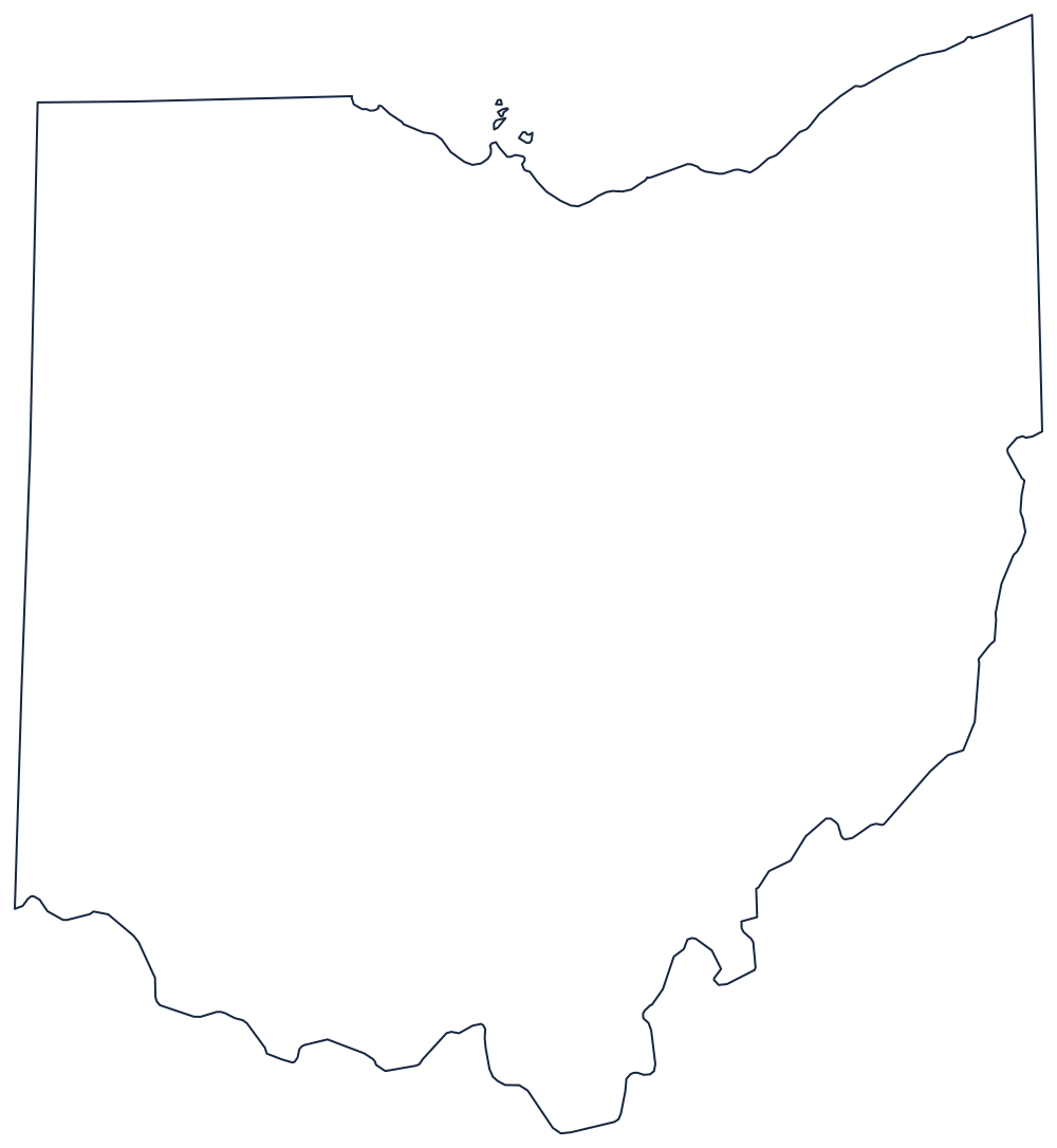
Ohio is where the United States learned to survey land, and it experimented on itself. The Seven Ranges in the east, the Congress Lands, the Connecticut Western Reserve along Lake Erie, the Symmes Purchase in the south-west, and the Virginia Military District between the Scioto and the Little Miami were all laid out differently, some in ranges and townships, one in irregular claims marked from natural features. County boundaries drawn afterwards inherited whichever pattern was already there.
The 88 counties of Ohio
The three big metropolitan counties — Franklin, Cuyahoga, and Hamilton — are Columbus, Cleveland, and Cincinnati, and they hold 29% of Ohio between them. The ten below come to 53%.
| County | County seat | Population (2024 estimate) |
|---|---|---|
| Franklin County | Columbus | 1,356,303 |
| Cuyahoga County | Cleveland | 1,240,594 |
| Hamilton County | Cincinnati | 837,359 |
| Summit County | Akron | 538,370 |
| Montgomery County | Dayton | 537,443 |
| Lucas County | Toledo | 426,291 |
| Butler County | Hamilton | 399,542 |
| Stark County | Canton | 374,091 |
| Lorain County | Elyria | 322,030 |
| Warren County | Lebanon | 256,059 |
Four surveys, 88 counties, and two charters
The survey history is visible everywhere. Counties in the Western Reserve — Ashtabula, Geauga, Portage, Trumbull — are built from five-mile survey townships and are noticeably squarer than counties in the Virginia Military District, where Highland, Fayette, and Ross have edges that jog around old claim lines. The Greenville Treaty Line of 1795, which divided Native and American land across the middle of the state, still shows in the boundaries of Mercer, Darke, and Auglaize counties.
Governing them is uniform: three commissioners, plus separately elected auditor, treasurer, recorder, engineer, coroner, sheriff, prosecutor, and clerk of courts, in all but two counties. Summit adopted a charter in 1979 and Cuyahoga in 2009 — the latter after a federal corruption investigation brought down the county commissioners and the auditor — and both now have an elected county executive and a council. Ohio also keeps 1,308 civil townships as functioning governments below the county, running fire departments, roads, and zoning in unincorporated land.
Largest and smallest counties
Franklin County is the most populous at 1,356,303 in the 2024 estimates and contains Columbus; it passed Cuyahoga County, which contains Cleveland and now stands at 1,240,594, in the 2000s. Hamilton County is Cincinnati at 837,359, and Lucas County is Toledo. The smallest is Vinton County in the Appalachian south-east, 12,545 people in a county more than seventy per cent wooded, with four state forests inside it. Ashtabula County, in the north-east corner, is the largest by land area at roughly 700 square miles.
Continue to the Ohio state page or the county map index. The neighbors: Michigan, Indiana, Kentucky, Pennsylvania, and West Virginia. The Ohio River page follows the southern boundary that belongs, bank to bank, to Kentucky.