Texas Map
Texas keeps 254 counties, two time zones and about 1,254 miles of international border. Capital: Austin. Largest city: Houston.
Texas at a glance
| Capital | Austin |
| Largest city | Houston |
| Abbreviation | TX |
| Population | 31,290,831 (2024 Census estimate) |
| Land area | 261,232 sq mi |
| Region | South (West South Central division) |
| Time zone | Central Time almost everywhere; El Paso and Hudspeth counties in the far west keep Mountain Time |
| Counties | 254 counties — more than any other state, and Brewster County alone is larger than Connecticut |
| Statehood | 1845 (28th state), admitted by annexation of the independent Republic of Texas |
| Borders | Arkansas, Louisiana, New Mexico, Oklahoma, the Gulf of Mexico, and the country of Mexico |
Major cities
Fourteen Texas cities rank among the 100 largest in the United States, one short of California’s fifteen and ahead of every other state. Houston is fourth in the country at 2,390,125 in 2024, San Antonio seventh at 1,526,656, Dallas ninth at 1,326,087, Fort Worth eleventh at 1,008,106 and Austin thirteenth at 993,588. Those five, with Arlington between Dallas and Fort Worth, form the Texas Triangle, where roughly three-quarters of the state lives.
The suburbs are cities in their own right: Plano, Irving, Garland and Frisco are all in the Dallas–Fort Worth Metroplex. Away from the triangle, El Paso sits on the Rio Grande 681,723 strong and is closer to San Diego than to Houston; Laredo and Corpus Christi hold the border and the coast; Lubbock is the city of the High Plains. Harris County alone counted 5,009,302 — see the Texas county map.
Geography
Texas contains four physical regions that have little to do with one another. The panhandle and west are High Plains — the Llano Estacado, part of the Great Plains, ending abruptly at the Caprock Escarpment. The Balcones Escarpment cuts diagonally through San Antonio and Austin, separating the limestone Hill Country from the Gulf coastal plain. East Texas is Piney Woods, closer in feel to Louisiana than to anything west of I-35. And beyond the Pecos the Basin and Range takes over, with Guadalupe Peak the state's high point at 8,751 ft.
The Rio Grande forms the entire boundary with Mexico, roughly 1,254 miles of it, swinging north through the canyons of Big Bend before turning southeast to the Gulf at Brownsville. The Red River runs along the Oklahoma line and the Sabine along the lower Louisiana one, but the Arkansas and New Mexico lines and both sides of the panhandle are pure survey. The Gulf coast runs about 367 miles of general shoreline behind a nearly continuous barrier chain, of which Padre Island, at some 113 miles, is the longest barrier island in the world.
Printable Texas maps
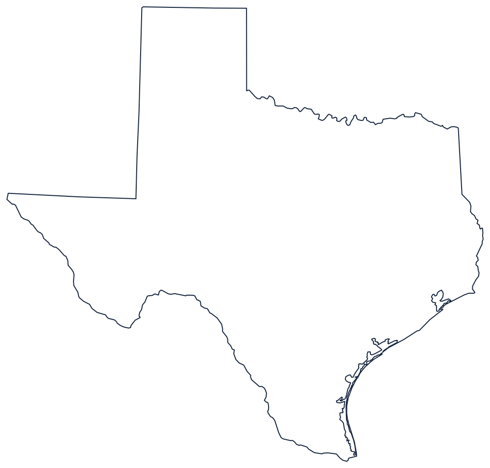
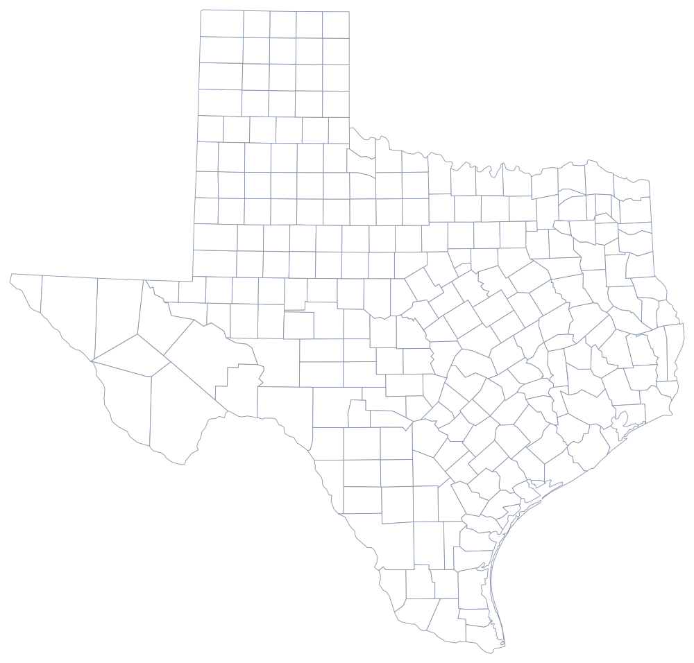
At 261,232 square miles of land Texas needs a page of its own: the outline above prints to the sheet edge, and the 254-county file is best used at poster size. Both are also on the blank Texas map page and in the poster printables.
Neighboring states
Four states and one country border Texas. New Mexico is west across a surveyed line and the Rio Grande above El Paso; Oklahoma is north across the Red River and along the panhandle; Arkansas touches the northeast corner; and Louisiana lies east across the Sabine. Because of the El Paso exception, Texas appears on both the Central and Mountain time zone maps.