US Map / County Maps / Pennsylvania
Pennsylvania County Map
In 1854 Philadelphia annexed every borough, district, and township in Philadelphia County at once, and city and county have been the same thing ever since.
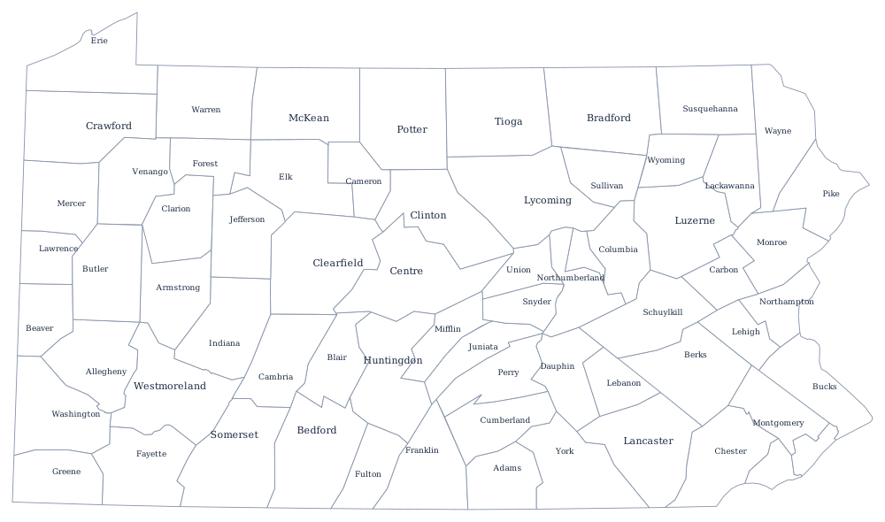
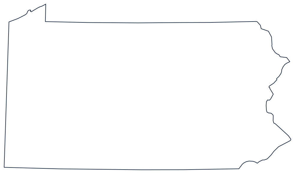
William Penn created Philadelphia, Bucks, and Chester counties in 1682, and Pennsylvania spent the next 196 years subdividing westward, ending with Lackawanna in 1878. The boundaries in the middle of the state follow the grain of the ridge and valley Appalachians because there was no practical alternative: a county that spanned two ridges could not be crossed by a farmer with a wagon.
The 67 counties of Pennsylvania
The ten below hold 56% of Pennsylvanians, and seven of them are in the Philadelphia orbit. Allegheny County, which is Pittsburgh, is the only large county in the western half of the state.
| County | County seat | Population (2024 estimate) |
|---|---|---|
| Philadelphia County | Philadelphia | 1,573,916 |
| Allegheny County | Pittsburgh | 1,231,814 |
| Montgomery County | Norristown | 879,190 |
| Bucks County | Doylestown | 650,131 |
| Delaware County | Media | 584,882 |
| Lancaster County | Lancaster | 563,293 |
| Chester County | West Chester | 560,745 |
| York County | York | 471,240 |
| Berks County | Reading | 439,117 |
| Lehigh County | Allentown | 385,655 |
The Act of Consolidation, row offices, and eight classes of county
The Act of Consolidation of 1854 abolished the twenty-eight boroughs, districts and townships that shared Philadelphia County with the small original city and merged them all into one municipality with the county's boundaries. The city grew from two square miles to 130 overnight. Since then Philadelphia has been a city and a county at the same time, with no separate county government and, since a 1951 charter, most of the old county row offices abolished or absorbed.
The other 66 counties are sorted by population into eight classes, and the class determines the offices a county must fill and the salaries it must pay — Philadelphia is first class, Allegheny second, and so on down to eighth. Most are run by three commissioners elected at large with minority representation guaranteed, since a voter may cast only two votes; alongside them sit the elected row officers, the sheriff, prothonotary, register of wills, recorder of deeds, clerk of courts, treasurer, controller, and coroner. Seven counties, including Allegheny, Erie, Lehigh, and Northampton, have adopted home rule charters and replaced that structure with an executive and a council.
Largest and smallest counties
Philadelphia County is the most populous at 1,573,916 in the 2024 estimates and is exactly the city of Philadelphia. Allegheny County is second at 1,231,814 and contains Pittsburgh. The smallest is Cameron County in the northern hardwood forest, 4,348 people — the least populous county in Pennsylvania and one that has been shrinking since the tanneries closed. Lycoming County, in the north-center, is the largest by land area at about 1,230 square miles.
The Pennsylvania state page covers the ridges and the cities, and the county map index covers the country. Bordering county maps: New York, New Jersey, Maryland, and Ohio. The Appalachian Mountains page explains the folds that most of the interior county lines follow.