US Map / States / North Dakota
North Dakota Map
Admitted on the same day as South Dakota in 1889, with the paperwork shuffled so nobody could say which came first. Capital: Bismarck. Largest city: Fargo.
North Dakota at a glance
| Capital | Bismarck |
| Largest city | Fargo |
| Abbreviation | ND |
| Population | 796,568 (2024 Census estimate) |
| Land area | 69,001 sq mi |
| Region | Midwest (West North Central division) |
| Time zone | Central Time in the east; the southwestern counties, roughly west of the Missouri River, keep Mountain Time |
| County count | 53 counties |
| Statehood | 1889 (39th state) |
| Borders | Minnesota, South Dakota and Montana, with the Canadian provinces of Manitoba and Saskatchewan along the 49th parallel |
Major cities
No North Dakota city ranks among the hundred largest in the country, and the four that matter sit at the corners. Fargo, on the Red River opposite Moorhead, Minnesota, is the largest; Cass County, which contains it, counted 200,945 people in 2024, about a quarter of the state. Bismarck, the capital, stands on the Missouri River in Burleigh County (103,107), paired with Mandan on the west bank. Grand Forks (Grand Forks County, 73,771) is about 75 miles up the Red from Fargo, and Minot serves the north-center. In the northwest, Williams and McKenzie counties over the Bakken shale grew faster than anywhere else in the state after 2008, and Williston and Watford City with them. Slope County, in the southwest, counted 660 residents.
Geography
North Dakota is a staircase of three steps climbing westward. The Red River Valley along the Minnesota border is the floor of glacial Lake Agassiz, so level that the river falls only inches per mile; because it flows north, the upstream end thaws first each spring and the water backs up behind the ice, which is why Fargo and Grand Forks flood the way they do. Behind it the Drift Prairie rises in rolling glacial till pocked with prairie potholes, the duck-breeding country of the continent.
West of the Missouri River the Missouri Plateau is unglaciated Great Plains, ending in the Badlands of the Little Missouri, where Theodore Roosevelt National Park protects the eroded buttes and coal seams. White Butte, 3,506 feet, in Slope County is the high point; the low point is the Red River at the Canadian line, around 750 feet. Lake Sakakawea, the reservoir behind Garrison Dam, stretches roughly 180 miles across the western half of the state. Rugby, near the middle of North Dakota, has claimed the geographic center of North America since a survey in 1931, and the 49th parallel makes the northern boundary as straight as any line in the country.
Printable North Dakota maps
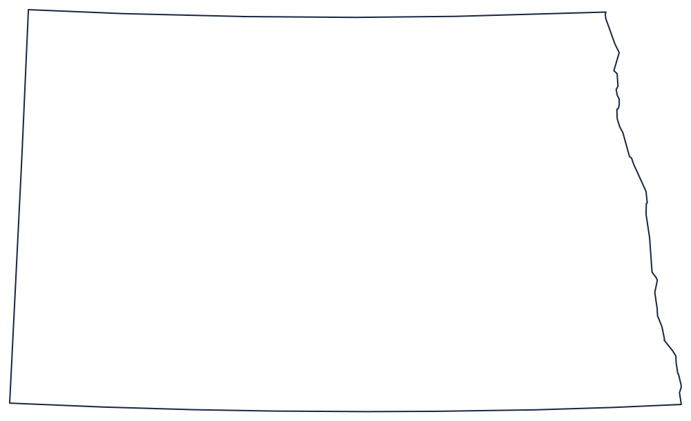
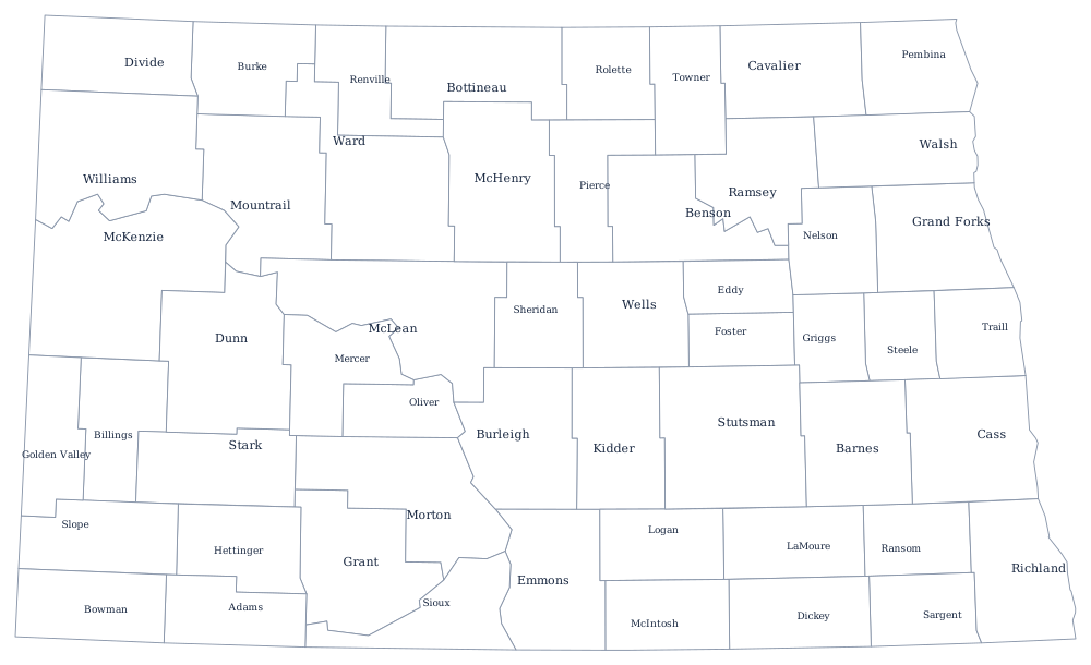
Fifty-three counties, almost all of them rectangles, are laid out on the township-and-range grid; the state itself is a rectangle interrupted only by the Red River. Print the shape from the blank North Dakota map page or label the counties with the North Dakota county map.
Neighboring states
East across the Red River is Minnesota; west across a meridian is Montana; south along a survey line a few miles short of the 46th parallel is South Dakota, the twin admitted alongside it. North Dakota is the northwestern corner of the West North Central division of the Midwest. The zone line that cuts across its southwest corner leaves a handful of ranching counties on Mountain Time while Bismarck, Fargo and Grand Forks all stay on Central. The US map with states shows the northern tier end to end.