Idaho Map
A state shaped like a pistol, split between two time zones and six neighbors. Capital and largest city: Boise. Abbreviation: ID.
Idaho at a glance
| Capital | Boise |
| Largest city | Boise |
| Abbreviation | ID |
| Population | 2,001,619 (2024 Census estimate) |
| Land area | 82,643 sq mi |
| Region | West (Mountain division) |
| Time zone | Split. Southern Idaho, including Boise, keeps Mountain Time; the ten northern counties of the panhandle, roughly north of the Salmon River, keep Pacific Time. Both halves observe daylight saving time. |
| Counties | 44 counties |
| Statehood | 1890 (43rd state) |
| Borders | Montana, Nevada, Oregon, Utah, Washington, and Wyoming — Idaho also runs about 45 miles along the Canadian border with British Columbia, the only such stretch in the Mountain division |
Major cities
Idaho's people are concentrated in the Treasure Valley in the southwest, where Boise reached about 237,963 residents in 2024 in Ada County. Meridian next door has grown faster than any other city in the state, and Nampa and Caldwell continue the built-up strip west along the Boise River toward the Oregon line. East along the Snake River Plain come Twin Falls, Idaho Falls and Pocatello, each a farm and rail center. The panhandle keeps its own orbit: Coeur d'Alene and Post Falls function as part of the Spokane metropolitan area over the Washington line, and Lewiston, at the confluence of the Snake and Clearwater rivers, is a seaport 465 river miles from the ocean. Boise is Idaho's only entry on the largest-cities list.
Geography
Idaho is mountainous from end to end, and the ranges run at awkward angles: the Bitterroots along the Montana line, the Sawtooths and the Salmon River Mountains in the middle, the Lost River Range carrying Borah Peak at 12,662 feet. The central third of the state is roadless enough that the Frank Church–River of No Return Wilderness is the largest contiguous wilderness in the lower 48.
The Snake River defines the settled part of Idaho. It enters from Wyoming, arcs 400 miles west across the Snake River Plain — a lava trough left by the same hotspot that now sits under Yellowstone — and then turns north to form the Oregon border through Hells Canyon, which at 7,993 feet below the summit of He Devil Peak is the deepest river gorge in North America. Aquifer water from the plain irrigates the potato and sugar-beet country around Burley and Rupert. The Montana line follows the crest of the Bitterroots as far south as Lost Trail Pass and the Continental Divide the rest of the way. Lake Pend Oreille in the panhandle is deeper than 1,150 feet.
Printable Idaho maps
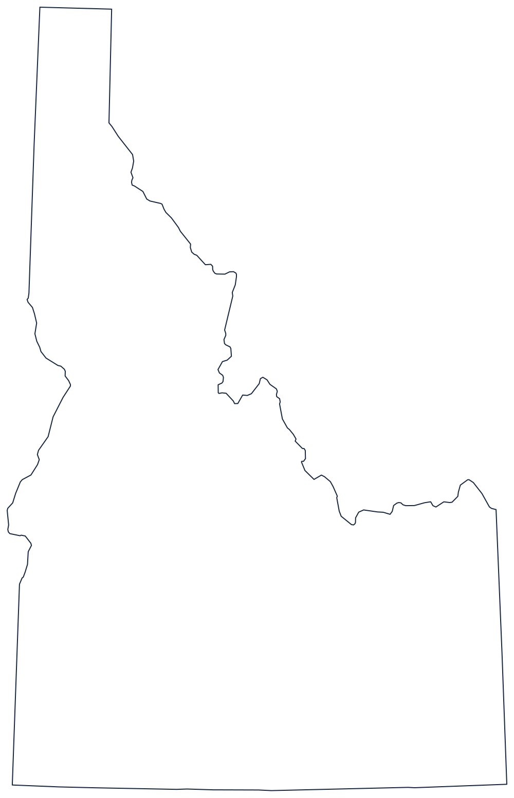
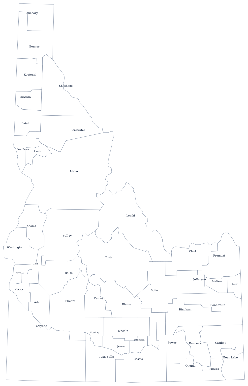
Idaho is one of the harder outlines to recognize without labels, so the blank sheet is a useful test. See the blank Idaho map for what the panhandle boundary follows.
Neighboring states
Idaho touches six states, more than any other in the Northwest. Washington and Oregon lie west, the second of them across Hells Canyon; Montana is east along the Continental Divide; Wyoming holds the southeast corner and the far side of Yellowstone; and Utah and Nevada meet Idaho along the straight 42nd-parallel line that also carries the Oregon and California border. Idaho is counted in the Mountain division even though its panhandle keeps Pacific Time.