Nevada Map
Mostly federal land, mostly mountain ranges, and almost entirely empty apart from two corners. Capital: Carson City. Largest city: Las Vegas. Abbreviation: NV.
Nevada at a glance
| Capital | Carson City |
| Largest city | Las Vegas |
| Abbreviation | NV |
| Population | 3,267,467 (2024 Census estimate) |
| Land area | 109,781 sq mi |
| Region | West (Mountain division) |
| Time zone | Pacific Time in all but one corner; West Wendover, on the Utah line in Elko County, keeps Mountain Time so it can share a clock with Salt Lake City. Daylight saving time is observed. |
| Counties | 16 counties plus Carson City, an independent city consolidated with the former Ormsby County in 1969 and counted as a county equivalent — 17 in all. |
| Statehood | 1864 (36th state) |
| Borders | Arizona, California, Idaho, Oregon, and Utah — the line with California abandons the 42nd parallel at Lake Tahoe and runs diagonally southeast for about 400 miles to the Colorado River, the longest oblique state boundary in the West |
Major cities
Nearly three-quarters of Nevadans live in Clark County, whose 2024 population of 2,398,871 is set against a state total of 3,267,467. Las Vegas is its center with 678,922 residents, but the Strip itself lies outside the city limits in unincorporated Paradise. Henderson to the southeast and North Las Vegas have both passed a quarter of a million people, which makes three of the state's four largest cities neighbors in the same valley. The other pole is Reno in Washoe County, at the foot of the Sierra Nevada, with Sparks beside it. Carson City, the capital, has around 58,000 residents, fewer than Sparks next door. Between those two corners Nevada is close to unpopulated: US 50 across the center earned its reputation honestly.
Geography
Nevada sits almost entirely within the Great Basin, a stretch of country whose rivers reach no ocean. The Humboldt River runs 300 miles west across the north and then simply sinks into the Humboldt Sink. Basin and Range faulting has left the state ridged with more than 150 named mountain ranges running north to south, separated by flat desert valleys — the pattern that gives Nevada the most mountain ranges of any state. Boundary Peak, at 13,147 feet on the California line, is the high point.
The south belongs to the Mojave Desert, where the Colorado River forms the border with Arizona and Hoover Dam holds back Lake Mead. In the west the Sierra Nevada takes the state's name and casts the rain shadow that makes everything east of it dry; Lake Tahoe straddles the state line at 6,225 feet. Roughly 80 percent of Nevada's land is owned by the federal government, the highest share of any state, which is why the map is so full of ranges, gunnery ranges and basins with no towns in them. Nevada was admitted on 31 October 1864, in the middle of the Civil War.
Printable Nevada maps
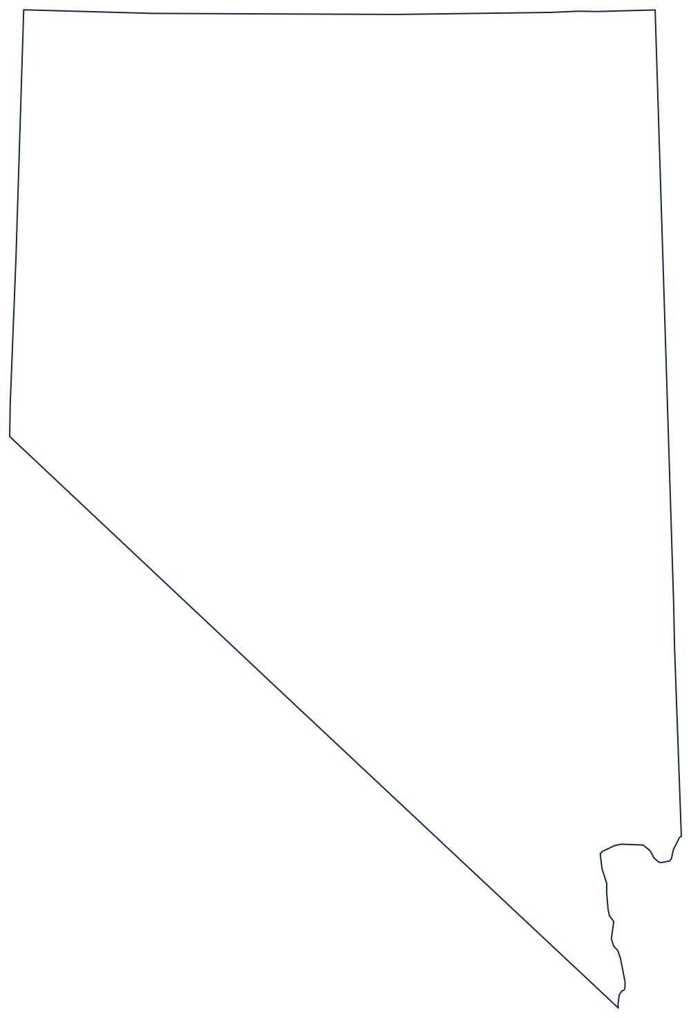
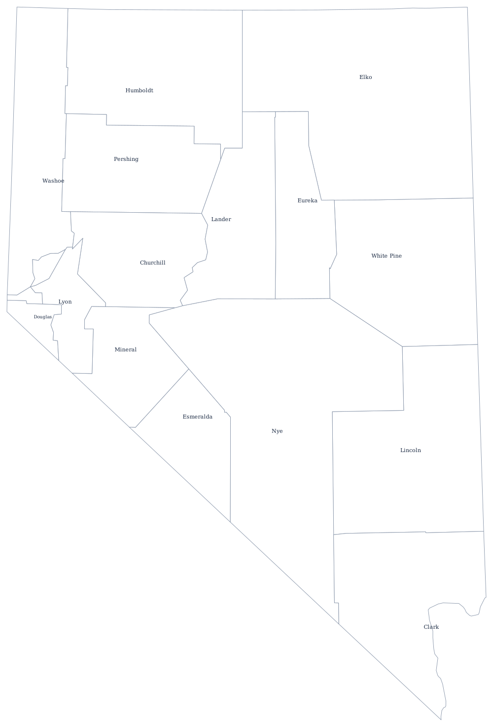
The outline makes the diagonal southern border obvious in a way that a national map does not. The blank Nevada map explains where that diagonal came from and why the state has a notch at Lake Tahoe.
Neighboring states
California wraps the western and southwestern sides, Oregon and Idaho sit squarely along the 42nd parallel to the north, Utah runs straight down the eastern side on the 114th meridian, and Arizona faces Nevada across the Colorado River. Nevada is in the Mountain division by Census definition but on Pacific Time in practice, which is a fair summary of how it works.