US Map / County Maps / Alaska
Alaska Borough and Census Area Map
Alaska has no counties. It has boroughs — and across more than half the state, no local government above the village at all.
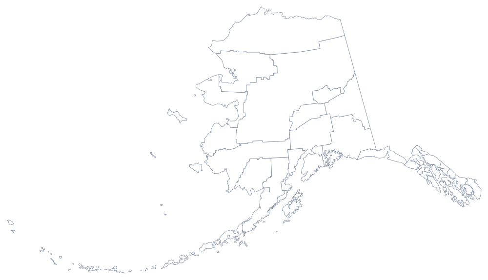
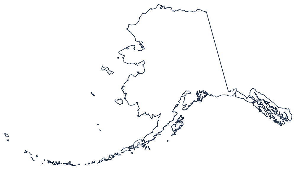
When Alaska wrote its constitution in 1956 it deliberately refused the word county. The framers had watched the Lower 48 fill up with small, overlapping local governments and wanted something simpler: a single class of regional government, called a borough, that would form only where people actually wanted to pay for services. Everywhere else the state itself would do the governing.
The 30 boroughs and census areas of Alaska
Populations are Census Bureau 2024 estimates. There is no county seat column here: organized boroughs run from a borough seat, but census areas have no government and therefore no seat at all, so the column would be half empty and half misleading.
| Borough or census area | Population (2024 estimate) |
|---|---|
| Anchorage Municipality | 289,600 |
| Matanuska-Susitna Borough | 117,613 |
| Fairbanks North Star Borough | 94,951 |
| Kenai Peninsula Borough | 61,259 |
| Juneau City and Borough | 31,572 |
| Bethel Census Area | 18,237 |
| Ketchikan Gateway Borough | 13,677 |
| Kodiak Island Borough | 12,654 |
| North Slope Borough | 10,663 |
| Nome Census Area | 9,836 |
Boroughs, the Unorganized Borough, and census areas
Nineteen organized boroughs cover the populated parts of the state. Three of them — Anchorage, Juneau, and Sitka — merged their city and borough governments outright, which is why the Census list reads Anchorage Municipality and Juneau City and Borough. Everything outside those nineteen is the Unorganized Borough: a single legal remainder covering roughly half of Alaska's area, with no regional government of any kind. Schools there are run by state-operated Regional Educational Attendance Areas rather than a borough.
Statistics still have to come from somewhere, so the Census Bureau divides the Unorganized Borough into eleven census areas — Bethel, Nome, Kusilvak, Yukon-Koyukuk and the rest. They are drawing conventions, not governments; their boundaries have been redrawn and renamed several times, most recently when the old Valdez-Cordova Census Area was split into the Chugach and Copper River census areas in 2019.
Largest and smallest boroughs
The Anchorage Municipality is much the largest, with 289,600 people in 2024 — about 39% of everyone in Alaska. Matanuska-Susitna Borough next door holds 117,613. The smallest county-equivalent is Yakutat City and Borough, at 690 people on a coast with no road connection to anywhere. By area the extremes are just as wide: the Yukon-Koyukuk Census Area is the largest county-equivalent in the United States, and the North Slope Borough, the largest organized borough, is bigger than several whole states.
See the Alaska state page for the state's geography, or return to the county map index. Alaska borders no other state, so the nearest comparisons are the other Pacific states — Washington, Oregon, and Hawaii, which has five counties for a similar reason: few people, spread across places that are hard to reach. Alaska keeps its own clock in the Alaska time zone.