Alaska Map
The largest state by a wide margin, and the only one on the mainland that borders no other state. Capital: Juneau. Largest city: Anchorage. Abbreviation: AK.
Alaska at a glance
| Capital | Juneau |
| Largest city | Anchorage |
| Abbreviation | AK |
| Population | 740,133 (2024 Census estimate) |
| Land area | 570,641 sq mi (roughly 2.2 times the land area of Texas) |
| Region | West (Pacific division) |
| Time zone | Alaska Time across almost the whole state; the Aleutian Islands west of about 169°30′W keep Hawaii-Aleutian Time. Both observe daylight saving time. |
| Counties | 19 organized boroughs and 11 census areas — Alaska has no counties. The census areas are statistical subdivisions of the Unorganized Borough, which the state itself administers. |
| Statehood | 1959 (49th state) |
| Borders | No US state. Alaska meets Canada along the Yukon and British Columbia line; the nearest state is Washington, about 500 miles southeast of the panhandle across British Columbia. |
Major cities
Alaska's population is small and heavily clustered. Anchorage holds about 289,600 people in the 2024 Census estimates — close to two in five Alaskans — and the Anchorage Municipality is simultaneously the city and its own borough. Fairbanks anchors the interior along the Tanana River, and the capital, Juneau, sits on the Inside Passage in the southeast panhandle with no road connection to the rest of the state: you reach it by ferry or by air. Everything else is measured in the thousands. Anchorage is the only Alaskan city on the list of the 100 largest US cities.
Geography
Alaska covers more land than Texas, California and Montana combined, and its shape does most of the work of explaining it. The panhandle is a drowned mountain coast of fjords and islands; the southcentral arc curves around the Gulf of Alaska; the Alaska Range crosses the middle, carrying Denali at 20,310 feet, the highest summit in North America; and the Brooks Range walls off the North Slope above the Arctic Circle. The Yukon River runs some 1,980 miles from British Columbia across the interior to the Bering Sea.
The Aleutian Islands stretch far enough west to cross the 180th meridian, which puts part of Alaska in the Eastern Hemisphere and gives the United States both its westernmost and, by longitude, its easternmost land. Alaska's coastline is longer than that of all the other states put together, and its share of the Pacific coast dwarfs the mainland states'. Glacier ice still covers tens of thousands of square miles, and the Aleutian arc is one of the most seismically active places on Earth.
Printable Alaska maps
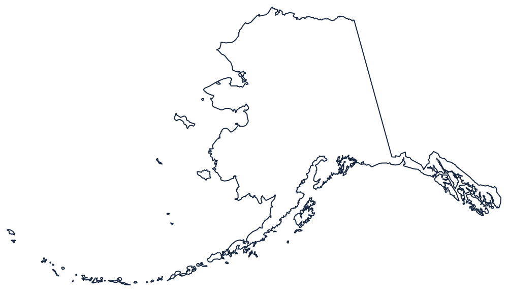
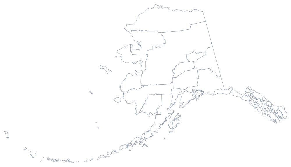
Both files are plain line art with no labels. For a printing-oriented page with page-size notes, see the blank Alaska map; the printable US maps section covers the whole country. Note that most classroom US maps shrink Alaska and move it into a box below the Southwest, which is why its true size surprises people.
Nearest states
Alaska shares no boundary with another state, so the comparison that matters is the rest of the Pacific division: Washington, Oregon and California on the mainland coast, and Hawaii, the other state admitted in 1959. Return to the US map with states, or find out how many people can place Alaska correctly in the West map quiz.