Florida Map
A 400-mile peninsula with a panhandle bolted on the side — and the panhandle keeps a different clock. Capital: Tallahassee. Largest city: Jacksonville.
Florida at a glance
| Capital | Tallahassee |
| Largest city | Jacksonville |
| Abbreviation | FL |
| Population | 23,372,215 (2024 Census estimate) |
| Land area | 53,625 sq mi |
| Region | South (South Atlantic division) |
| Time zone | Eastern for the peninsula; Central in the panhandle west of the Apalachicola River, including Panama City and Pensacola |
| Counties | 67 counties |
| Statehood | 1845 (27th state) |
| Borders | Alabama and Georgia — only two, plus the Atlantic and the Gulf of Mexico |
Major cities
Florida has eight cities among the 100 largest in the country and no single dominant one. Jacksonville leads at 1,009,833 in 2024 because it merged with Duval County in 1968 and took in some 750 square miles of land with it. Miami is only 487,014 inside its own limits while Miami-Dade County around it holds 2,838,461; Hialeah is part of the same built-up area. Across the peninsula, Tampa and St. Petersburg face each other across Tampa Bay.
Orlando anchors the interior, Cape Coral and Port St. Lucie are postwar grid subdivisions that grew into cities on the Gulf and Atlantic coasts respectively. Tallahassee, the capital, is none of these — it is a panhandle college town chosen in 1824 as the midpoint between the old Spanish capitals of Pensacola and St. Augustine. See the 100 largest US cities for how they rank nationally.
Geography
Florida is limestone with a thin skin of sand on top. Rainwater dissolves the rock, which is why the state has hundreds of springs, an aquifer that supplies most of its drinking water, and sinkholes that open without warning. The high point, Britton Hill in the western panhandle, is 345 ft — the lowest state high point in the United States.
Water does the rest of the work. Lake Okeechobee covers roughly 730 square miles and once spilled south every wet season into the Everglades, a sheet of water inches deep and fifty miles wide creeping through sawgrass toward Florida Bay; Everglades National Park protects about 1.5 million acres of what is left. Below the mainland the Florida Keys curve southwest for about 120 miles to Key West. Florida's general coastline of roughly 1,350 miles — split between the Atlantic and the Gulf — is longer than any state's but Alaska's, and the St. Johns River is one of the few large American rivers that flows north.
Printable Florida maps
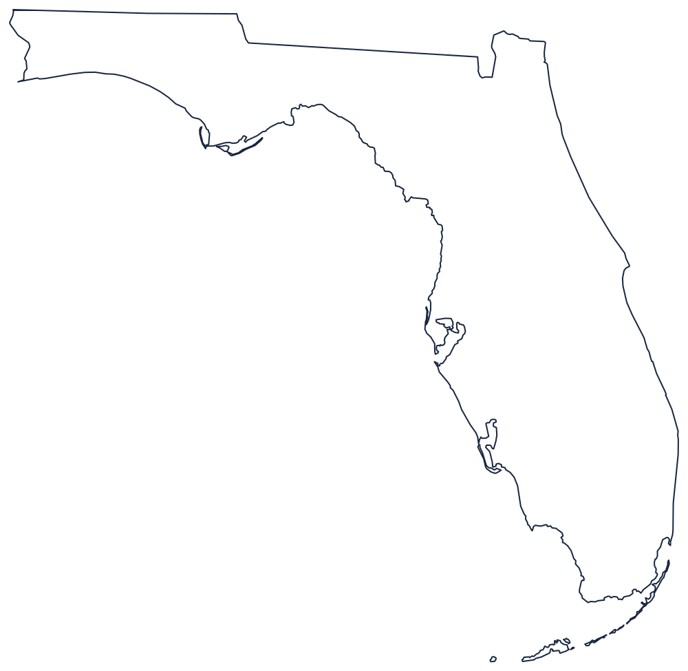
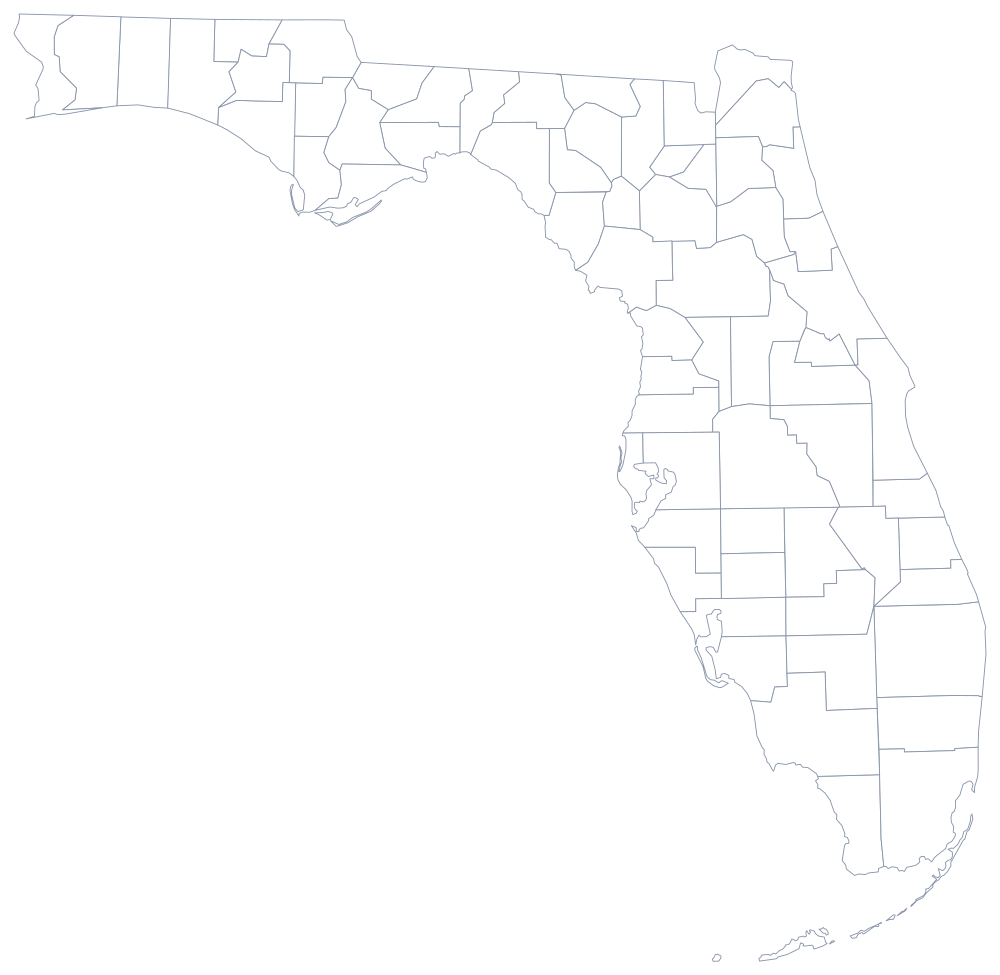
The outline map below is the one to print for labeling the Keys, the panhandle and the big lakes; there is a classroom version on the blank Florida map page and a 67-county sheet in the buttons above.
Neighboring states
Only Georgia and Alabama touch Florida — as few as any state but Maine, which has one. The Georgia line is mostly the St. Marys River and a straight run west from the Okefenokee Swamp; the Alabama line drops down the Perdido River to the Gulf near Pensacola. Because the panhandle straddles a zone boundary, Florida also appears on both the Eastern and Central time zone maps.