US Map / Geography / Cascade Range
Cascade Range Map
Every high summit in the Cascades is a volcano, and several of them are still active.
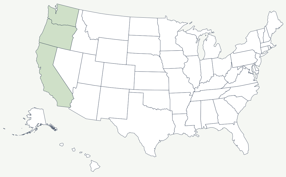
The Cascades run roughly 700 miles from Lassen Peak in northern California to southern British Columbia. Unlike the Sierra Nevada, which is one uplifted block, the Cascades are a chain of stratovolcanoes sitting on a lower ridge of older rock — which is why the range reads on a map as a line of isolated white cones rather than a continuous crest.
Which states does the Cascade Range cross?
Three. The southern end is in California, where Lassen Peak and Mount Shasta stand above the northern Sacramento Valley. The range then runs the full length of Oregon, dividing the wet Willamette Valley from the high desert around Bend, and continues through Washington past Mount Rainier to the Canadian border in the North Cascades. The Washington–Oregon line crosses it at the Columbia River Gorge, the only place where a river cuts the range at close to sea level.
| Volcano | State | Elevation | Note |
|---|---|---|---|
| Mount Rainier | Washington | 14,411 ft | highest in the range and in Washington |
| Mount Shasta | California | 14,179 ft | the largest cone by volume |
| Mount Adams | Washington | 12,281 ft | |
| Mount Hood | Oregon | 11,239 ft | highest point in Oregon |
| Mount Baker | Washington | 10,781 ft | heavy snowfall on its slopes |
| Lassen Peak | California | 10,457 ft | erupted 1914–17 |
| Mount St. Helens | Washington | 8,363 ft | about 1,300 ft lower after 1980 |
Notable places in the range
Mount St. Helens erupted on 18 May 1980, removing the top of the mountain and flattening forest across a fan to the north; the crater and the debris field are now a national volcanic monument, and the mountain is several hundred feet shorter than it was. Crater Lake, in southern Oregon, is the flooded caldera of a volcano that collapsed roughly 7,700 years ago; at 1,943 feet it is the deepest lake in the United States, and it has no inlet or outlet, so its water is almost entirely snowmelt. Mount Rainier carries more glacier ice than any other peak in the contiguous states and stands close enough to the Puget Sound cities that its mudflow hazard maps cover populated valleys. Seattle and Portland both sit on the wet western side, in sight of the cones on a clear day.
The line that splits two states in half
Pacific storms hit the Cascades and drop their water on the western slopes, leaving the east side dry. The contrast is severe: parts of the western Olympics and Cascades measure their rainfall in feet, while Yakima and Bend sit in near-desert. That single fact organizes both states. The population, the ports and the timber industry are west of the crest; the irrigated orchards, the wheat, the cattle and the sunshine are east of it, and Oregonians and Washingtonians routinely describe their politics in terms of which side of the mountains they live on. Crossing the range was never easy — the passes are high and close in winter — and the Columbia River Gorge, cut through the range at near sea level, carried the Oregon Trail's last leg, the first railroad, and now Interstate 84. Snoqualmie Pass, at just over 3,000 feet, is the lowest highway crossing in Washington and the reason Interstate 90 goes where it does.
The gorge through the range is described on the Columbia River page, and the eastern basin on the Snake River page. To the south the range meets the Sierra Nevada, and to the west lies the Pacific Coast. See the physical geography of the United States, or the state pages for Washington and Oregon.