Delaware Map
Delaware's northern boundary is an arc — a circle of twelve-mile radius struck from the courthouse in New Castle. First state, three counties.
Delaware at a glance
| Capital | Dover |
| Largest city | Wilmington |
| Abbreviation | DE |
| Population | 1,051,917 (2024 Census estimate) |
| Land area | 1,949 sq mi |
| Region | South (South Atlantic division) |
| Time zone | Eastern Time, statewide |
| Counties | 3 counties — New Castle, Kent and Sussex, fewer than any other state |
| Statehood | 1787 (1st state), the first to ratify the Constitution |
| Borders | Maryland, New Jersey, Pennsylvania, and the Atlantic |
Major cities
More than half of Delaware lives in one county. New Castle County, the northern third of the state, held 588,093 people in 2024 out of 1,051,917 statewide, and Wilmington is its center — a chemical and corporate-registration town at the confluence of the Christina and Brandywine. Newark, a few miles west, is the University of Delaware's town.
Dover, the capital, sits in the middle of Kent County (192,690) beside Dover Air Force Base. Sussex County in the south (271,134) is the fastest-growing of the three, filling in behind the Atlantic beach towns of Lewes, Rehoboth and Bethany. No Delaware city is among the 100 largest in the country; for the state's own ranking see the Delaware county map.
Geography
Delaware's shape is a survey argument frozen in place. The northern border is the Twelve-Mile Circle, an arc measured from the old courthouse in New Castle and the only circular state boundary in the country; where it meets the straight Mason–Dixon line and the north–south tangent line, it leaves a small wedge that Pennsylvania and Delaware disputed until 1921. Inside the circle the boundary with New Jersey runs at the low-water mark on the New Jersey shore, so Delaware owns that stretch of river bed right up to the far bank.
The land itself is the flattest in the country. Ebright Azimuth, near the Pennsylvania line, is the high point at 448 ft, and the state's mean elevation of roughly 60 ft is the lowest of the fifty. South of the Chesapeake & Delaware Canal, which cuts the state in two for shipping, everything is Atlantic coastal plain: tidal marsh along Delaware Bay, about 28 miles of open Atlantic coast below Cape Henlopen, and the Great Cypress Swamp straddling the Maryland line. Delaware shares the Delmarva Peninsula with Maryland and Virginia.
Printable Delaware maps
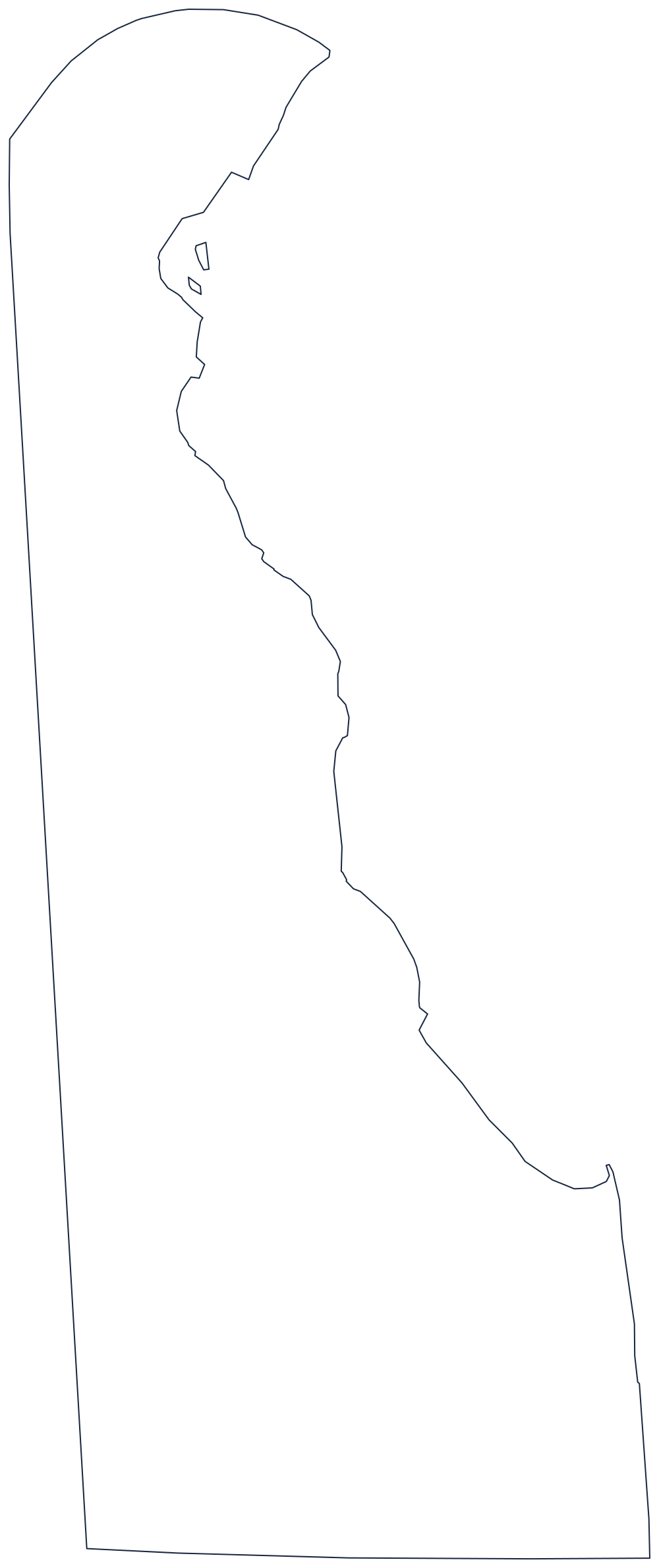
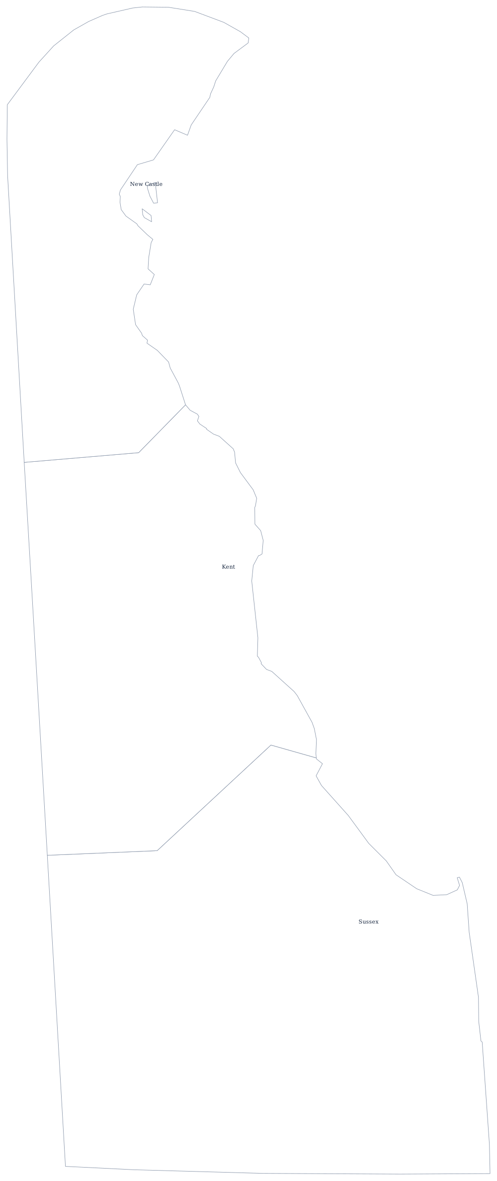
Delaware's outline is the easiest in the country to draw freehand except for that arc. Download it below, or read how the border was surveyed on the blank Delaware map page; the county sheet needs only three shapes.
Neighboring states
Cross the circle into Pennsylvania and you are in the Philadelphia suburbs within minutes. New Jersey is across the Delaware River, reached by the Delaware Memorial Bridge, and Maryland wraps the state on the west and south along the Mason–Dixon survey. Delaware is grouped with the South Atlantic division by the Census Bureau even though it sits north of the Potomac; the capitals map shows Dover in context.